Scan-to-BIM software
Point cloud to BIM, native DWG
* Free 30-day trial, no credit card required.
Scan-to-BIM
What is Scan-to-BIM?
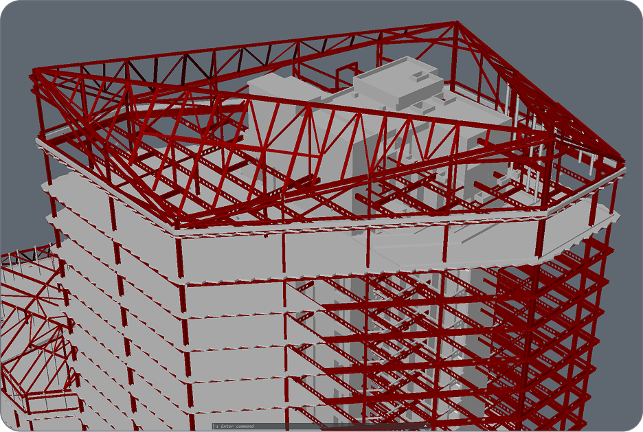
Scan-to-BIM converts a laser-scan point cloud into an intelligent BIM model, so teams get accurate, editable geometry from a real building instead of redrawing it by hand entirely. As-built, renovation and heritage projects rely on it because a manual survey misses details a scan captures in hours. Octave BricsCAD imports 13 point-cloud formats natively and classifies scans directly in DWG.
Scan-to-BIM workflow
From point cloud to as-built model
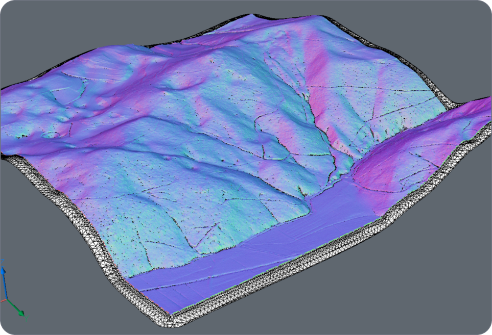
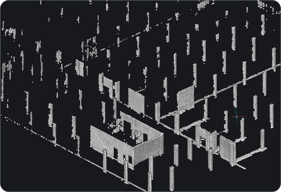
Turning a scan into a model runs in four steps: import the point cloud, classify it, model missing detail, then document the result. The BIM toolset classifies walls and floors with BIMIFY, an automation feature that speeds classification without replacing the modeler’s own judgment. You go from point cloud to CAD model in one native DWG file.
BIM toolset
Scan-to-BIM, without a specialist suite
Import, classify and model point-cloud data in the same DWG file you already draft in.

13 point-cloud formats

Automation-assisted classification

One native DWG workflow
Discover BricsCAD
CAD Software to suit your design needs
BricsCAD has designed the ultimate suite of tools to meet your design needs. From the earliest stages of 2D drafting to the finalized 3D models utilized for manufacturing or building, our robust set of products makes it easy to create a streamlined workflow.
 €330/year
High-performing, compatible, and concise 2D drafting and detailing.
 €710/year
Professional 2D & 3D CAD - powerful and flexible.
 €998/year
2D & 3D Mechanical CAD to document manufacturing processes.
 €1,060/year
2D & 3D CAD for building modeling and documentation.
 €1,176/year
Integrated 2D & 3D CAD for Mechanical, Building, and Surveying.
Features
Everything you need for Scan-to-BIM
Import, classify and model point-cloud data, then document the result, without leaving the BIM toolset. Included in BricsCAD BIM and Ultimate.
13 point-cloud formats
Native import, including E57, LAS, LAZ, PTX, PTS, RCS and RCP.
Classify indoor and outdoor scans
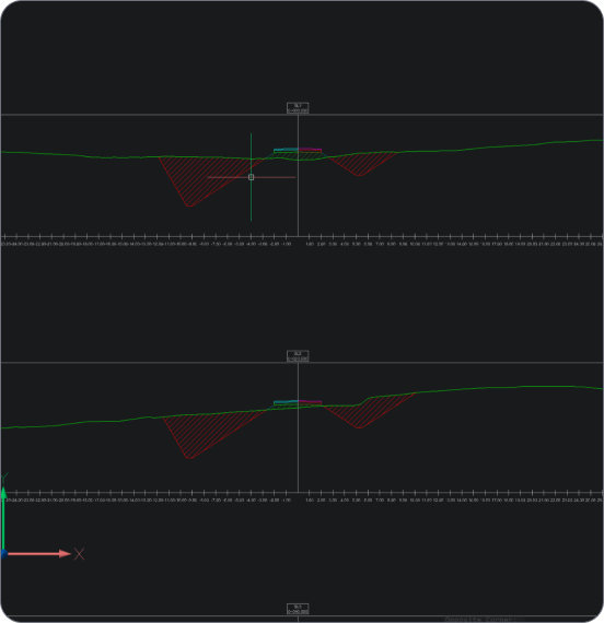
TIN surfaces from scan data
BIMIFY
BIMPROPAGATE, repeat modeled detail
File support
Supported point-cloud formats
Octave BricsCAD imports these formats natively, with no conversion required.
Format | Extension | Native import |
|---|---|---|
E57 | .e57 | Yes |
LAS | .las | Yes |
LAZ | .laz | Yes |
RCS/RCP | .rcs / .rcp | Yes |
PTX/PTS | .ptx / .pts | Yes |
HSPC | .hspc | Yes |
LGSX | .lgsx | Yes |
PACK | .pack | Yes |
RDBX | .rdbx | Yes |
RSP | .rsp | Yes |
ZFS | .zfs | Yes |
Need more help
You can’t find what you’re looking for?
From the official BricsCAD logo set to the latest press releases, we are here to help.

Check BricsCAD’s Help Center
Do you have specific questions? Search through help articles, tutorials and command references.

Contact Support
Didn’t find what you were looking for? Get in touch with BricsCAD support.

Get in touch with Sales
Questions about BricsCAD or which BricsCAD product level is right for your business? We are here to help. Please reach out and we will get in touch as fast as possible.
Get the Facts
Frequently Asked Questions
What is Scan-to-BIM?
Scan-to-BIM converts a laser-scan point cloud into an intelligent, classified BIM model.
Does Octave BricsCAD support Scan-to-BIM?
Which point cloud formats does Octave BricsCAD support?
What is BIMIFY in Octave BricsCAD?
How accurate is Scan-to-BIM in Octave BricsCAD?
Our clients
Scan-to-BIM teams that chose Octave BricsCAD
 Source: www.g2.com/bricscad
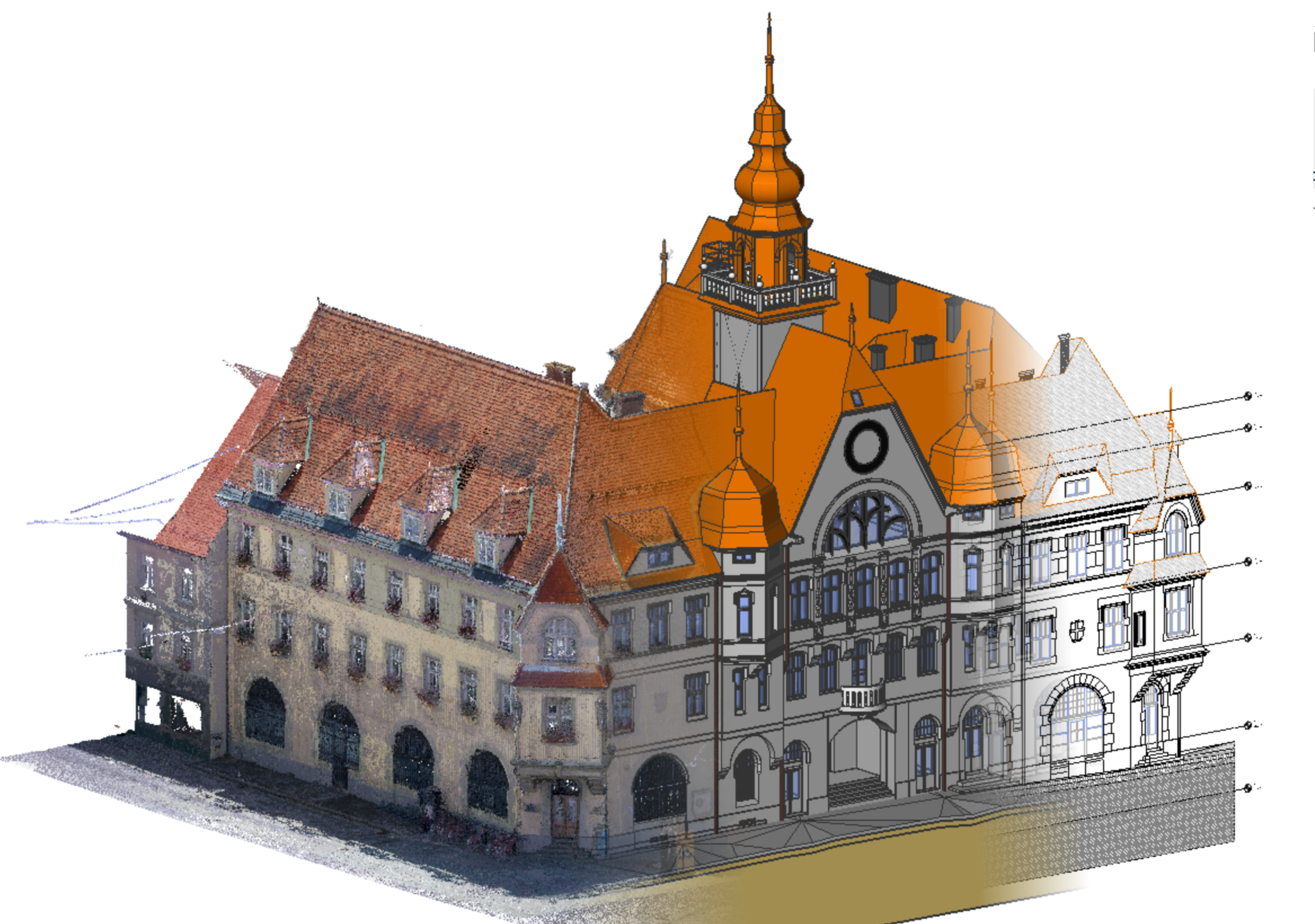

Teleskop’s scan-to-BIM capabilities in BricsCAD BIM were critical to winning the restoration of the historic Ptuj Town Hall.
Teleskop d.o.o. · Civil & Surveying, Slovenia
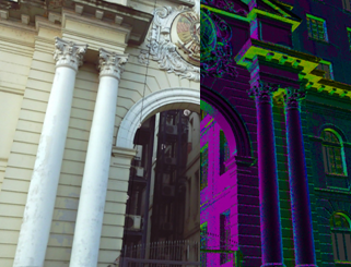
SOP/RS used point clouds in BricsCAD BIM to create an accurate 2D drawing of the existing conditions for a historic façade restoration.
Secretaria de Obras Públicas (SOP/RS) · Renovation, Brazil


Deutsches Bergbau-Museum switched to BricsCAD this year to document historic mine sites, keeping its existing DWG documentation fully usable.
Deutsches Bergbau-Museum · Mining & Documentation, Germany
30 day trial
Start designing in BricsCAD today!