Land surveying tools
Unlock performance with tools created specifically for how surveyors work.
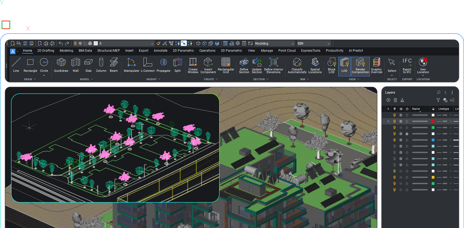
LEICA TO BRICSCAD
Fast and easy access to survey data from Leica instruments
One-click import enables survey data to flow from field to CAD with consistency, completeness, and accuracy.
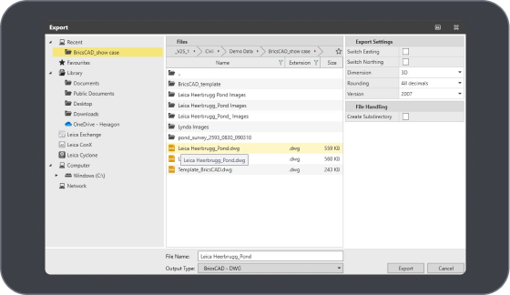
Export from Leica Infinity
One-click export to produce an enhanced DWG file, containing all necessary field data without the need to restyle or reformat layers.
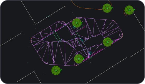
Import to BricsCAD® Pro
The one-click import creates a DWG containing surfaces, points, alignments, and strings, along with supplemental data from Leica Infinity.
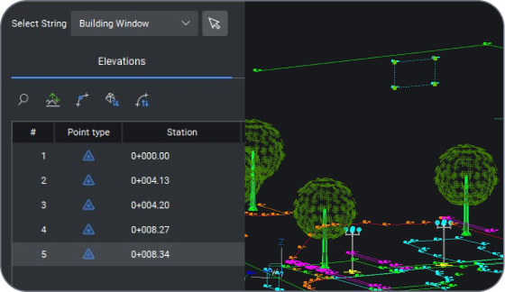
Boost design productivity
Use BricsCAD's powerful surface modeling, point group, and string editing tools to refine a design and create CAD deliverables quickly and efficiently.
SURVEY TO CAD
Harness survey data to create accurate CAD Deliverables
Import and manage survey data from total stations or GPS to generate annotated drawings, analyze deed information, and create TIN surfaces for contour display.
Import and manage survey data
Utilize ASCII point files, survey data, and GIS data within a DWG to continue a project.
Generate annotated drawings
Civil Sections and Section Views
Create TIN surfaces and display contours
Share TIN surfaces across drawings
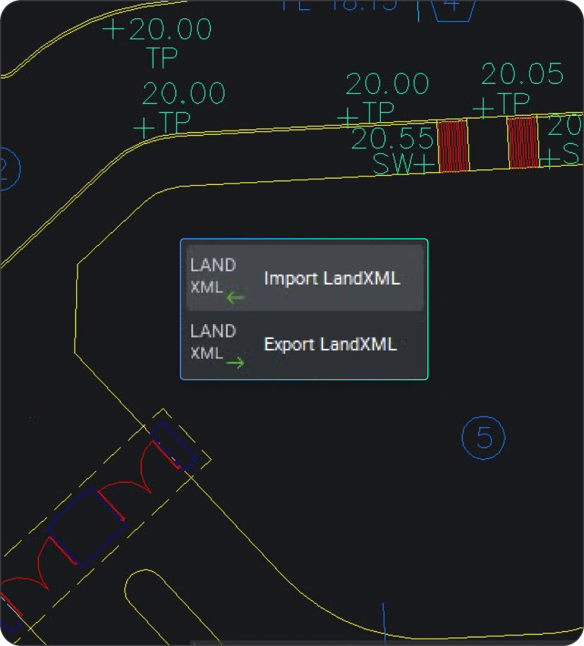
CONSTRUCTION STAKING
Practical and accurate tools for construction staking
Import, prepare, and export data for accurate location in the field.
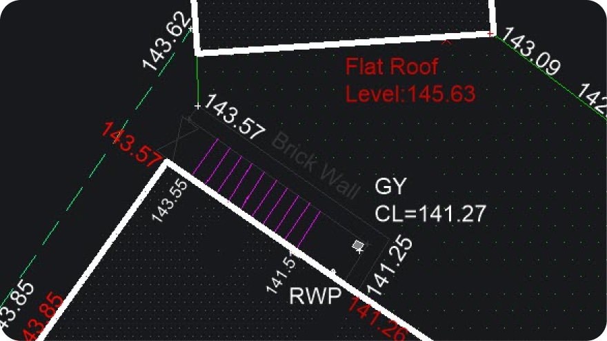
Import and manage design data
Import survey points from field instruments, filter and select through enhanced point group UI functionality, and import LandXML or Civil 3D objects.
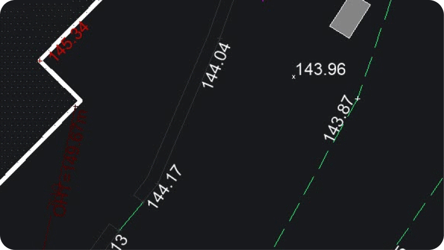
Prepare data for location in the field
Generate civil data and prepare for export to survey equipment or enhanced LandXML.
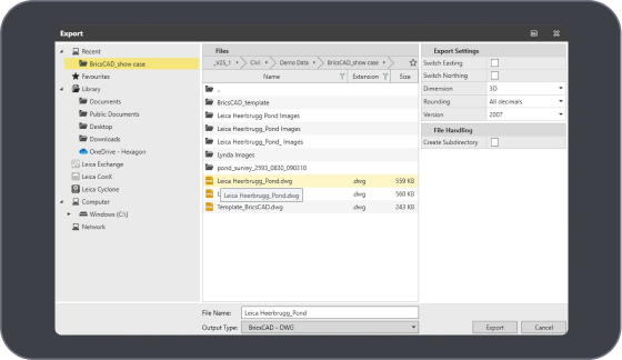
Export data to survey instruments
Export to LandXML or connect field instruments to Bricsys® 24/7 and import data.
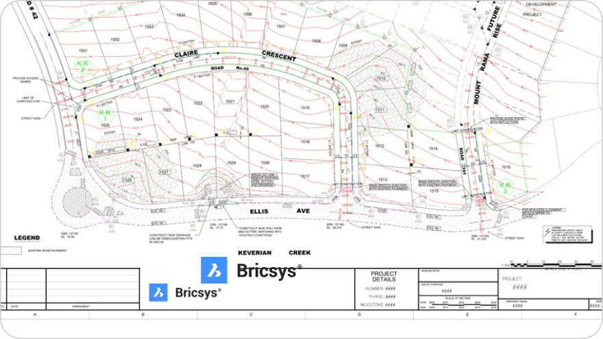
Create as-built drawings and CAD deliverables
Create a set of as-built drawings as part of a CAD-deliverables package.
DATA INTEROPERABILITY
Open. Optimize. Output.
Use multiple data types within a single CAD environment to design quickly. You can import, edit, and export GIS data, Civil 3D data, and LandXML.
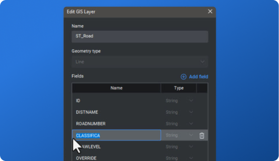
Use GIS data in one CAD environment
Roundtrip GIS data and create GIS layers from scratch or edit existing files with familiar CAD tools in a GIS workflow. Import, filter and search, edit and create, and export to SHP.
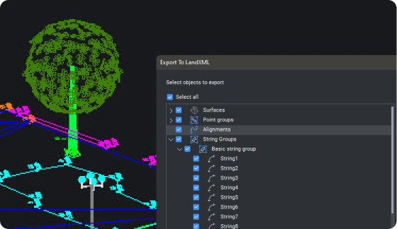
Use LandXML to exchange data
Import, edit, and export data, including point groups, alignments, surfaces, and 3D Strings, using the industry-standard LandXML format.
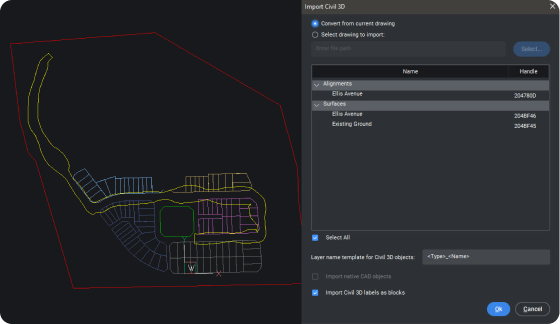
Work with Autodesk® Civil 3D data
Use displayed proxy Civil 3D objects as a reference or import Civil 3D objects to BricsCAD civil objects for easy access to object information and use for further design.
SCAN TO TIN
Accurate TIN Surfaces from scanned data
Create, edit, and manage highly accurate and lightweight TIN surfaces with scanned data from aerial, terrestrial, or bathymetric LiDAR captures.

Import and manage point clouds
Import point-cloud data from multiple formats and classify to filter out unnecessary data.

Create survey features from point clouds
Classify point clouds to exclude non-ground features and use 3D strings and snapping to create survey features accurately.

Generate annotated drawings
Generate CAD deliverables with surveyor-focused drafting tools such as transparent commands, line and curve labels, and geometry creator.

Refine and manage TIN surfaces and contours
Filter out unnecessary points, add and remove breaklines, and remove outer edges. Display and label contours, and use surface smoothing to fine-tune a TIN Surface.

Share TIN surfaces across collaborative drawings
Smart referencing enables lightweight parallel working with the same TIN surface. Any design changes to the original drawing prompts other users to update to the newest iteration.
All BricsCAD Toolsets
Discover all BricsCAD Toolsets

30 day trial
Start designing in BricsCAD today!
