Surveying
Surveyors can reduce costs, drive project efficiency, and maximize their revenue with BricsCAD Pro. Our professional CAD platform comes with intelligent tools that can accelerate your point cloud workflow needs, while our partner apps provide advance survey features.
* Free 30-day trial, no credit card required.

Solutions
BricsCAD BIM
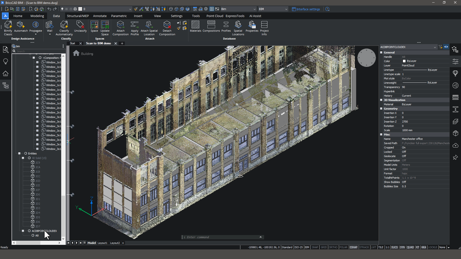
Scan to BIM
Intelligent tools can turn a point cloud into an accurate 3D model.
BricsCAD Pro
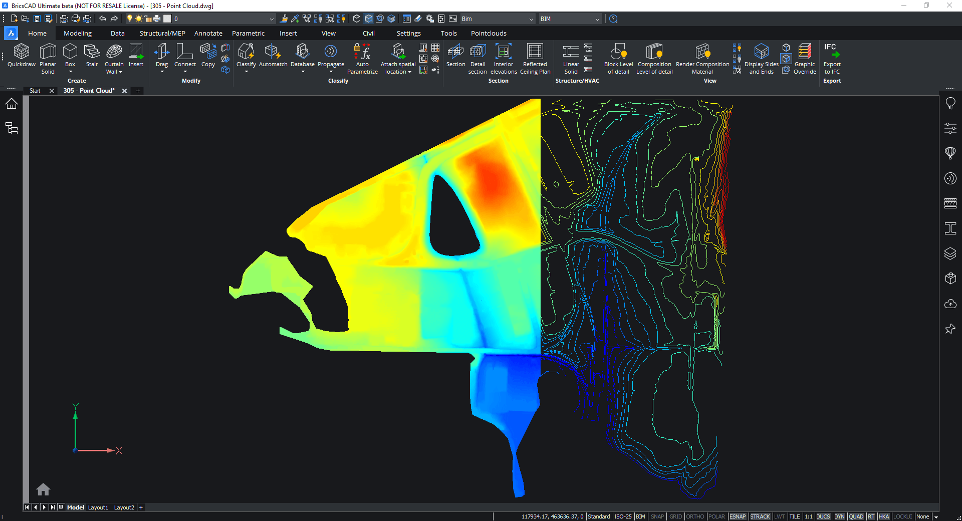
Scan to TIN
Import large point clouds into BricsCAD and use our tools to filter unnecessary points to create a workable TIN Surface.
BricsCAD Pro |
Partner App required
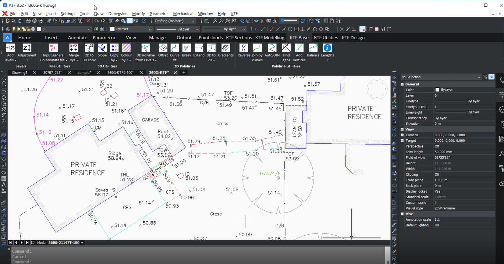
Total station site survey to CAD deliverable
Create an accurate CAD deliverable using BricsCAD Pro and KeyTERRA-FIRMA. This combination provides an easy and powerful way to import site survey data.
BricsCAD BIM
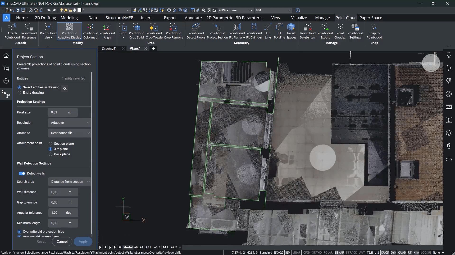
Scan to plan
Quickly document 2D floor plans from point clouds.
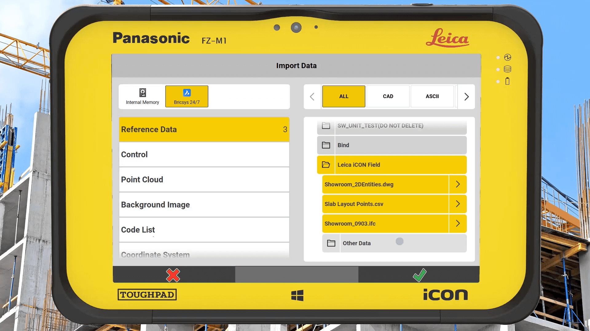
Bricsys 24/7
Construction layout: cloud collaboration
Seamlessly connect the field and office for construction layout workflows. Exchange data such as points lists, drawings and models with Bricsys 24/7 cloud solution.
Surveyors improve productivity


We are highly satisfied with the functionality and versatility of BricsCAD. We generate all our survey plans with the software. BricsCAD allowed us to improve productivity, with our Geosi extension, to an unprecedented level.
Mr. Klaus Legat, Head of the Aerial Surveying Department


RESOURCES
Related content

What's new in BricsCAD V25
The harmony between intelligent features and user-friendly functionality. Explore 60+ features to automate workflows in a user-friendly design space.
SurveyTools™ for BricsCAD
Survey users of BricsCAD have workflows turbocharged with the launch of a new survey application.
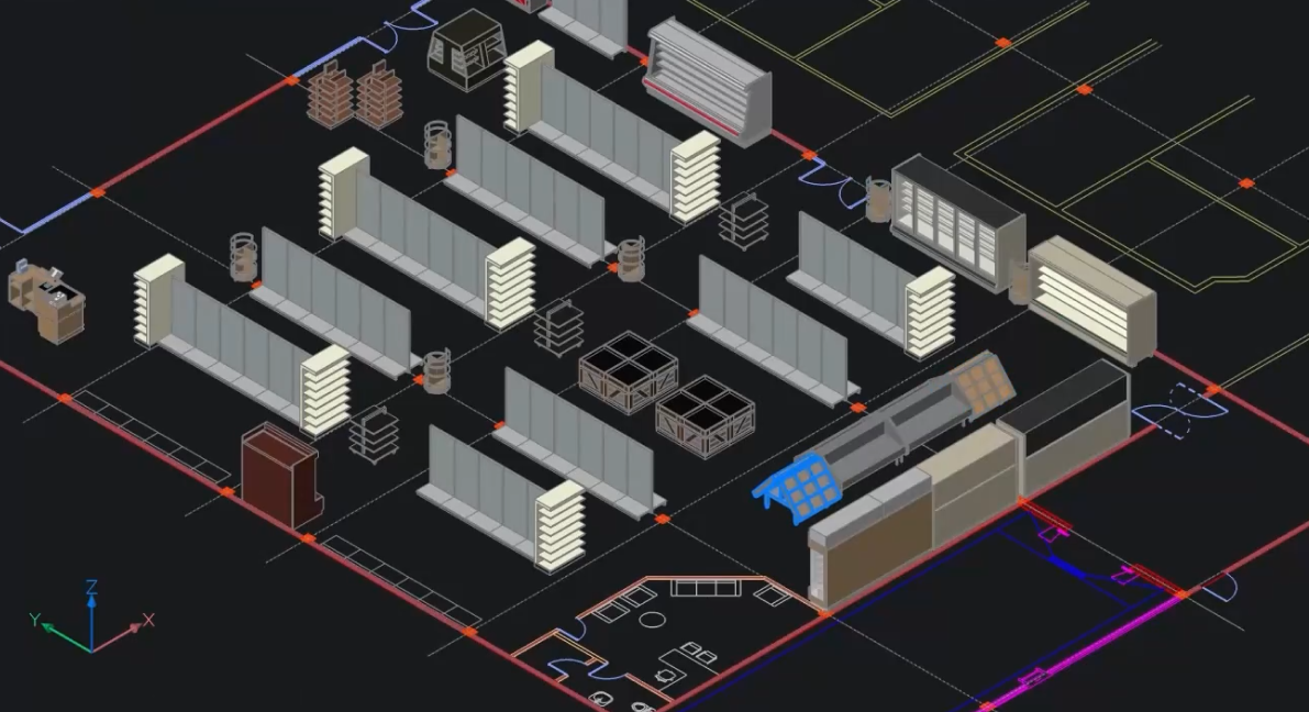
What's new in BricsCAD V24
The latest release brings new levels of performance and innovation to the heart of the BricsCAD product family.
Contact us
How can we help?
Contact Octave BricsCAD to discover the best CAD upgrade for your workflows. Reduce costs, collaborate seamlessly, and improve efficiency by choosing BricsCAD. Our customer support team is here to help you every step of the way.
BUY BRICSCAD
All our CAD software
 €330/year
High-performing, compatible, and concise 2D drafting and detailing.
 €710/year
Professional 2D & 3D CAD - powerful and flexible.
 €998/year
2D & 3D Mechanical CAD to document manufacturing processes.
 €1,060/year
2D & 3D CAD for building modeling and documentation.
 €1,176/year
Integrated 2D & 3D CAD for Mechanical, Building, and Surveying.
30 day trial
Start designing in BricsCAD today!
