BricsCAD。以更低成本,交付更多成果。9 月 30 日前立享 85 折优惠。⏰

获取优惠

查找

测绘

测量师可以通过 BricsCAD Pro 降低成本,提高项目效率,并使其收益最大化。我们的专业 CAD 平台配备智能工具,可以加速您的点云工作流程需求,而我们的合作伙伴的应用插件更能提供高级测量功能。

下载 BricsCAD
查看定价

* 免费试用 30 天,无需提供信用卡资料。

A smiling engineer in a hard hat and safety vest stands beside a surveying scanner, with BricsCAD civil tools UI visible.

解决方案

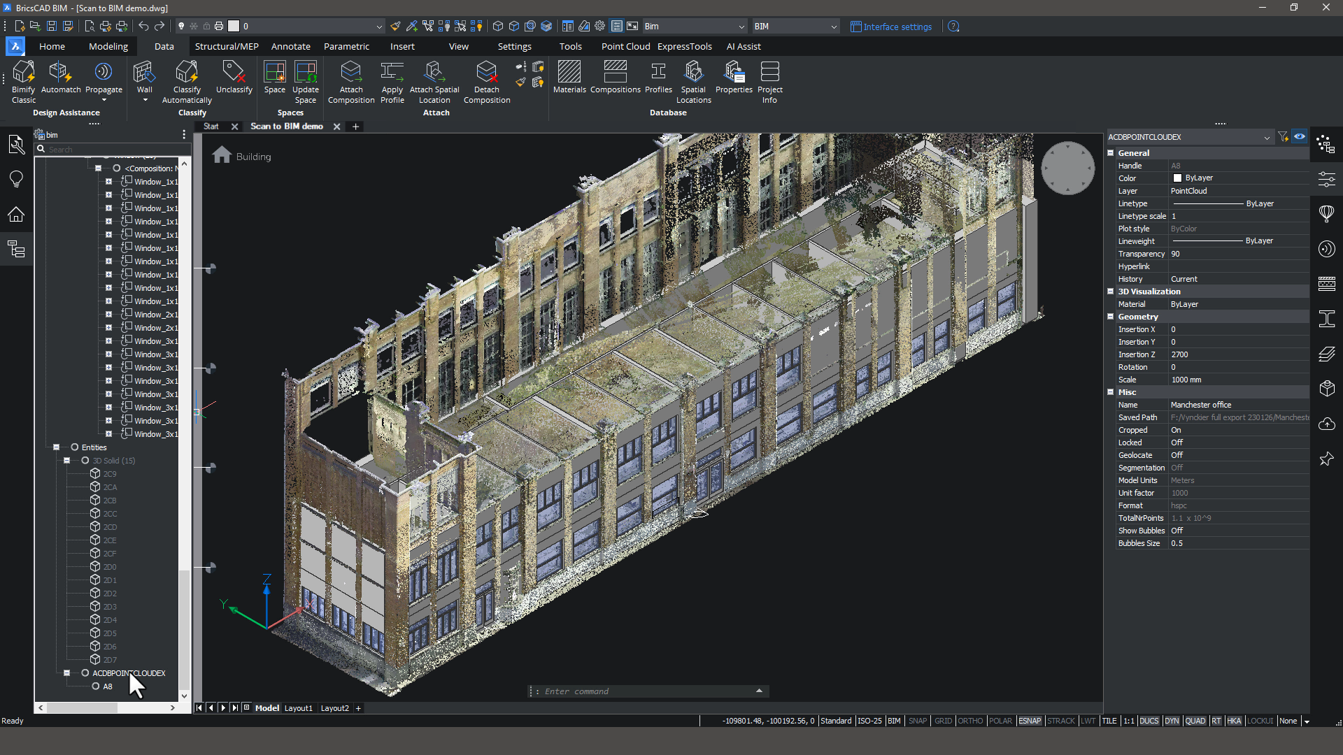
BricsCAD BIM interface showing a 3D point cloud scan of a multi-story office building with BIM properties panel open.

BricsCAD BIM

扫描至BIM

智能工具可以将点云变成精确的 3D 模型。
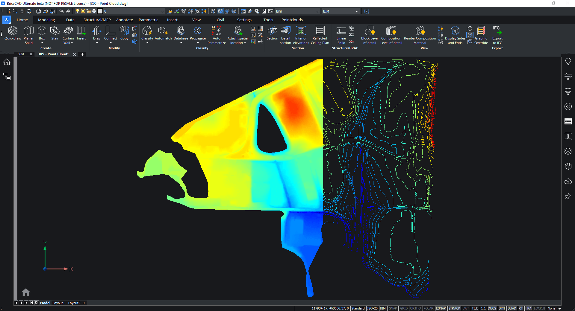
BricsCAD interface showing a colorized point cloud scan of a building facade with contour lines on the right.

BricsCAD 专业版

扫描到 TIN

将大型点云导入BricsCAD,并使用我们的工具来过滤不必要的点,以创建一个可行的TIN曲面。
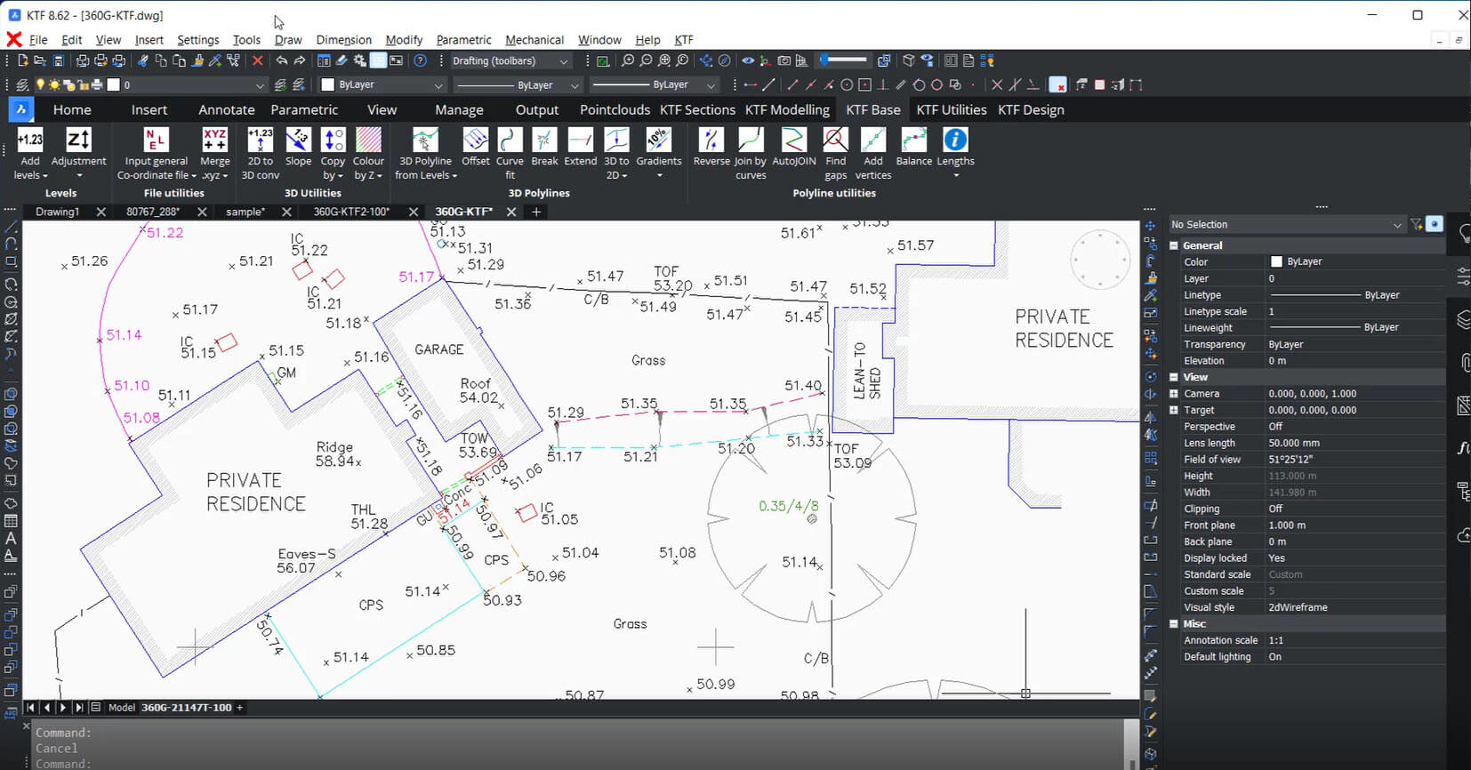
BricsCAD interface showing a 2D site plan of a private residence with elevation markers, garage, and landscaping details.

BricsCAD 专业版 |

Partner App required

全站现场勘测到 CAD 可交付成果

使用 BricsCAD Pro 和 Key Terra Firma 创建一个准确的 CAD可交付成果。这种组合为导入现场调查数据提供了一种简单而强大的方式。
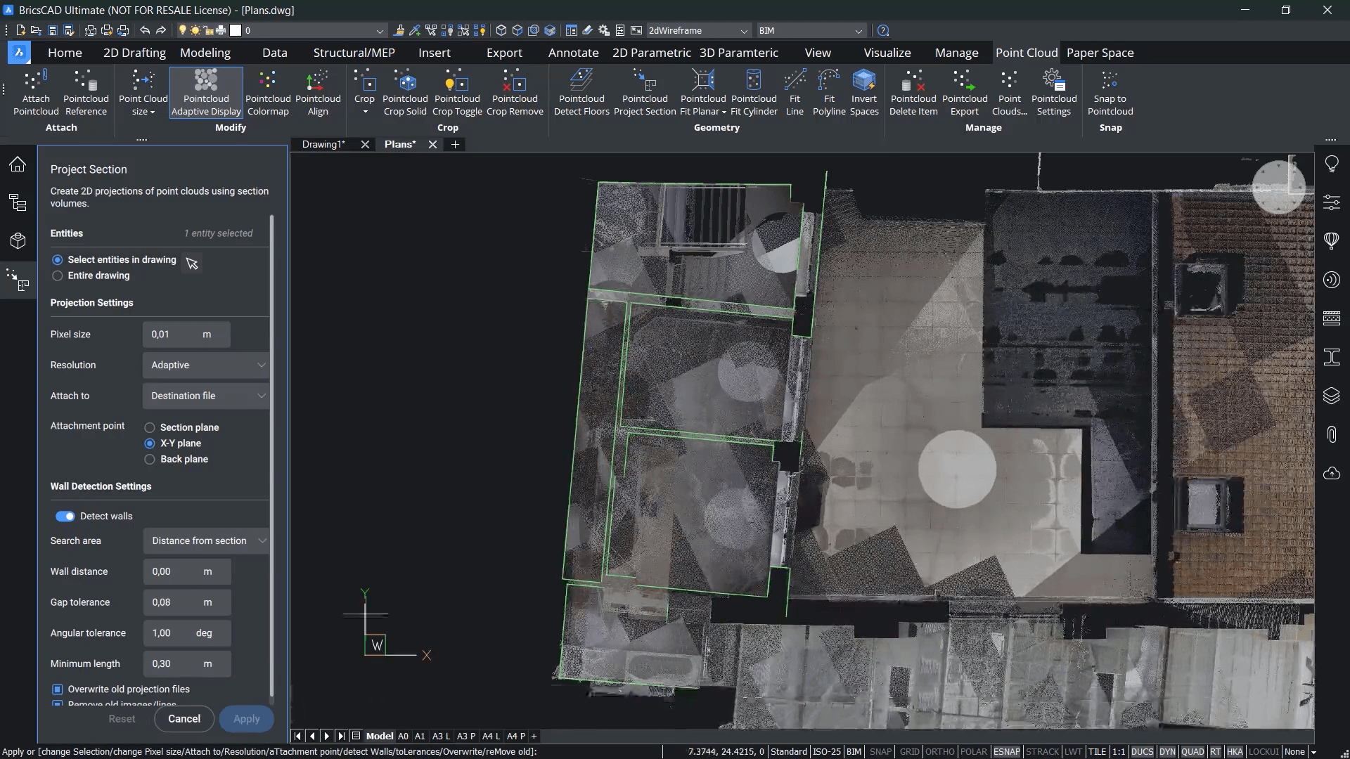
BricsCAD UI showing the Project Section panel with a point cloud top-down view of a building floor plan overlay.

BricsCAD BIM

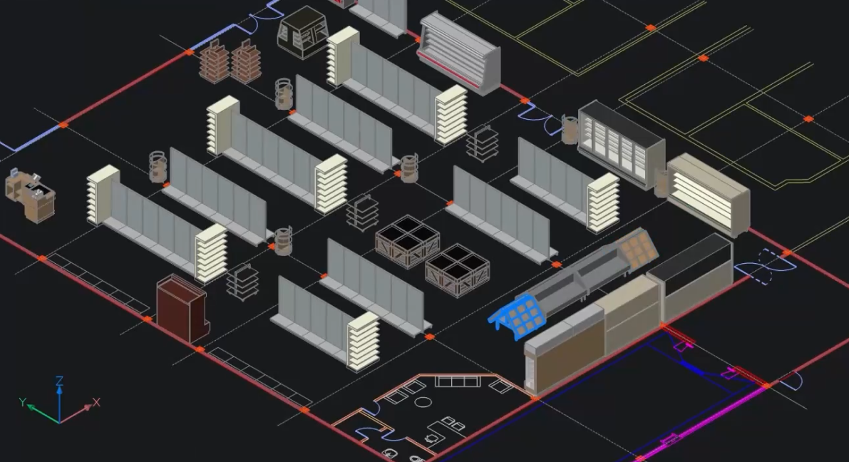
扫描到平面图

从点云快速记录二维平面图。

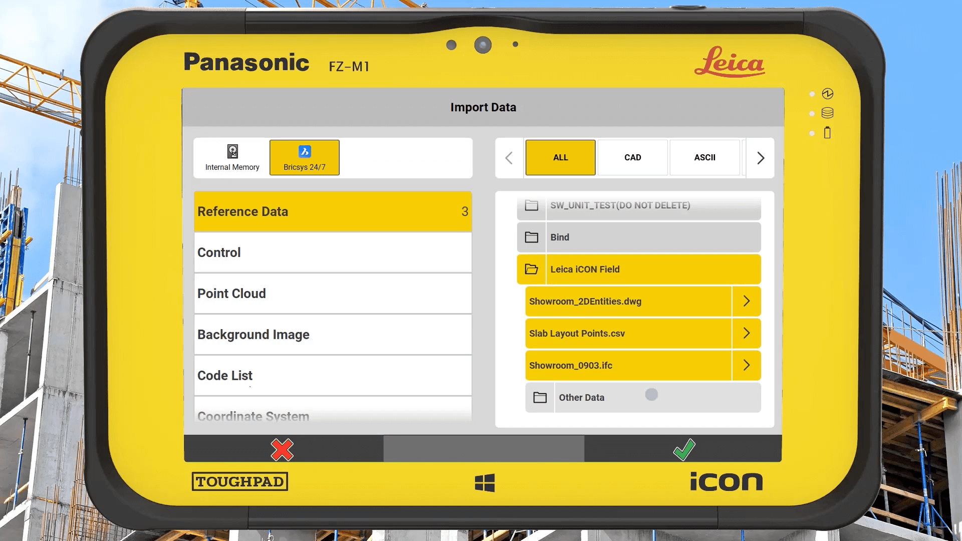
Panasonic FZ-M1 Toughpad tablet displaying Leica iCON field software Import Data screen with CAD file options.

Bricsys 24/7

施工布局的云协作

无缝连接现场和办公室的施工布局工作流程。使用 Bricsys 24/7 云解决方案交换点列表、图纸和模型等数据。

测量员提高生产力

Quote
logo art

我们对BricsCAD的功能和多功能性非常满意。我们用该软件生成所有的调查平面图。BricsCAD使我们的生产力得到了提高,我们的Geosi扩展,达到了前所未有的水平。

Mr. Klaus Legat,航测部主任

DecoA surveyor in a hi-vis jacket and hard hat carries Leica surveying equipment across a construction site outdoors.

资源

相关内容

联系我们

我们如何能帮助?

联系 Octave BricsCAD 以发现适合您工作流程的最佳 CAD 升级。 选择 BricsCAD 可降低成本、无缝协作并提高效率。我们的客户支持团队随时为您提供帮助。

联系 BricsCAD 团队
访问帮助中心

购买 BRICSCAD

我们所有的 CAD 软件

查看所有定价选项

30 天试用

今天就开始使用 BricsCAD 展开您的设计之旅!

免费试用 BricsCAD
Six BricsCAD views showing scaffolding structures, a 2D elevation drawing, pipe joints, and a 3D building model.