CAD-software voor civiele techniek
Native-DWG-landmeetkunde en terreinontwerp.
* Gratis proefperiode van 30 dagen, geen creditcard vereist.
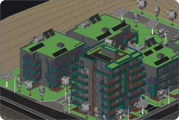
Civiele techniek
Wat is ontwerpsoftware voor civiele techniek?
Civieltechnische ontwerpsoftware helpt teams om meet- en veldgegevens om te zetten in nauwkeurige tekeningen en modellen voor landontwikkeling, locatieontwerp en infrastructuur. Het omvat disciplines zoals landmeetkunde, grondverzet en terreinaanleg, locatieplannen en terreinmodellering.
De Octave BricsCAD Civil & Survey-toolset brengt deze workflows samen in een native-DWG-omgeving, zodat u sneller eindproducten kunt opleveren.
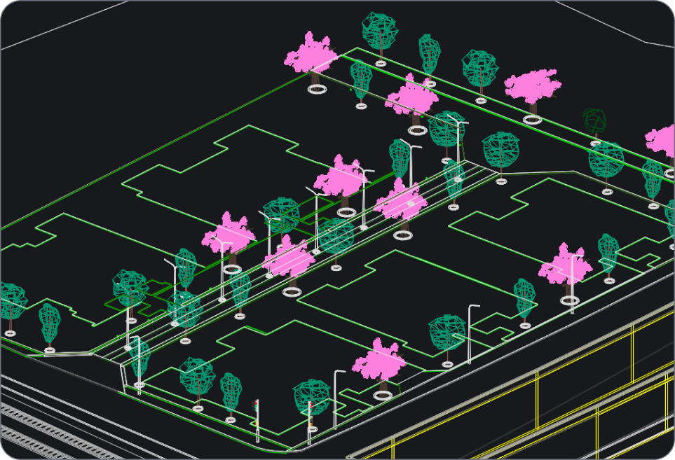
Civiele en landmeetkundige workflows
Octave BricsCAD voor civiele techniek
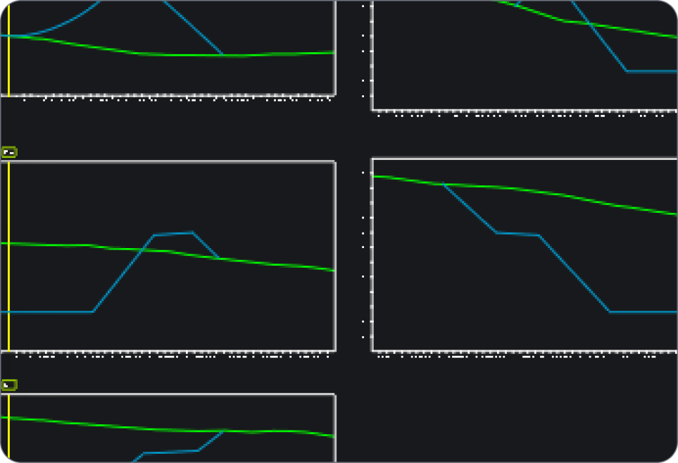
Voor civieltechnische en landmeetkundige teams combineert Octave BricsCAD landmeetkundig tekenwerk, modellering en terreinanalyse in een vertrouwde DWG-omgeving.
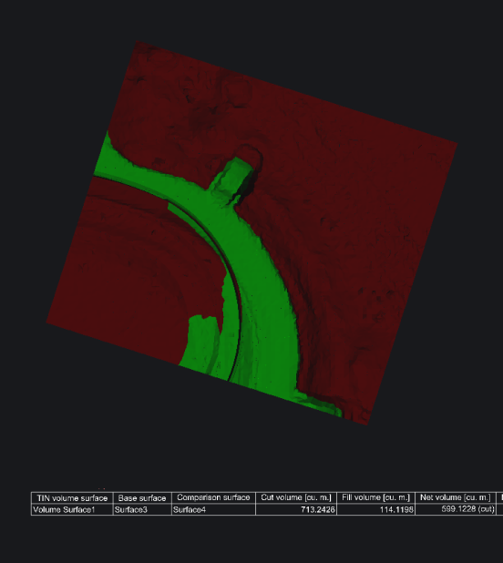
Automatiseer veelvoorkomende landmeetkundige taken, zoals het labelen van punten, het maken van profielen en dwarsprofielen; importeer point clouds en maak TIN-oppervlakken om grondverzetvolumes te berekenen; en werk rechtstreeks met externe bronnen van landmeetkundige gegevens, zodat u uw veldgegevens sneller omzet in een afgewerkt eindproduct.
Waarom civieltechnische en landmeetkundige teams voor ons kiezen
Waarom civieltechnische en landmeetkundige teams kiezen voor Octave BricsCAD
Octave BricsCAD is de kosteneffectieve, DWG-compatibele keuze voor bedrijven die behoefte hebben aan krachtige 2D-civieltechnische tekenfuncties, landmeetkunde en terreinontwerp zonder te betalen voor een volledige infrastructuursuite. Flexibele licenties vervangen token-gebaseerde modellen waarbij meer in rekening wordt gebracht dan teams daadwerkelijk gebruiken.

Meer dan alleen basis-tekenwerk

Eén omgeving, van veldwerk tot eindproduct

Flexibele licenties, afgestemd op uw behoeften
Ontdek BricsCAD
CAD software die past bij uw ontwerpbehoeften
Met BricsCAD kunnen experts nauwkeurigere ontwerpweergaven maken. CAD heeft het ontwerpen met de hand vervangen, waardoor het tekenproces kan worden verbeterd en er eenvoudig wijzigingen en optimalisaties kunnen worden toegepast. Met BricsCAD kunnen ingenieurs nauwkeurigere ontwerpen maken en deze virtueel aanpassen. CAD software berekent hoe verschillende materialen zich tot elkaar verhouden.
BricsCAD heeft de ultieme toolpakket ontworpen om aan uw ontwerpbehoeften te voldoen. Van de vroegste stadia van 2D-tekenen tot de definitieve 3D-modellen die worden gebruikt voor productie of constructie, onze robuuste reeks producten maakt het eenvoudig om een gestroomlijnde workflow te creëren.
 €330/jaar
Hoogwaardige, compatibele en beknopte 2D-tekeningen en detaillering
 €710/jaar
Professionele 2D & 3D CAD - krachtig en flexibel.
 €998/jaar
2D- en 3D-Mechanical CAD om productieprocessen te documenteren.
 €1,060/jaar
2D- en 3D-CAD voor gebouwmodellering en documentatie.
 €1,176/jaar
Geïntegreerde 2D- en 3D-CAD voor werktuigbouwkunde, bouw- en landmeetkunde.
Toolset voor civiele techniek en landmeetkunde
Ontdek de toolset voor civiele techniek en landmeetkunde
Speciaal ontwikkelde tools voor landmeetkundige en terreinworkflows, allemaal in de native-DWG-omgeving waarmee uw team reeds vertrouwd is.
Landmeetkunde en terreinkunde
Maak rechtstreeks in CAD punten, lijnwerk, TIN-oppervlakken en hoogtelijnen. Creëer punten, oppervlakken en terreinen op basis van meetgegevens, met landmeetkundig specifieke tekenautomatisering, waaronder dynamische labels.
Veldgegevens, verenigd
Terreinmodellering en corridors
Realiteit vastleggen
DWG-native en interoperabel
Eén platform
Vijf productniveaus in één oogopslag
Octave BricsCAD groeit met u mee. Elk niveau is gebaseerd op dezelfde native-DWG-kern, zodat upgraden nooit betekent dat u van bestandsformaat moet veranderen of uw team opnieuw moet opleiden.
Productniveaus | Focus | Het beste voor |
|---|---|---|
Lite | 2D schetsen | Snelle, vertrouwde 2D-documentatie in native DWG |
Pro | 2D- en 3D-CAD | Algemeen ontwerpwerk, met LISP en apps van derden |
Mechanical | Productie | Assemblages, plaatmetaalconversie en BOM's |
BIM | Bouwkundig ontwerp | Architecturale en constructieve BIM in DWG |
Ultimate | Alles | Alle modules gecombineerd in één licentie |
Meer hulp nodig
Niet gevonden wat je zocht?
Van de officiële BricsCAD-logoset tot de nieuwste persberichten: wij staan voor u klaar.

Raadpleeg BricsCAD's Help Center
Heeft u meer vragen? Doorzoek help-artikelen, tutorials en opdrachtreferenties

Contacteer Support
Niet gevonden wat u zocht? Neem contact op met Bricsys Support

Neem contact op met Sales
Vragen over BricsCAD of welk BricsCAD-productniveau geschikt is voor uw bedrijf? We zijn hier om u te helpen. Neem gerust contact met ons op, wij zullen u zo spoedig mogelijk verder helpen.
De feiten op een rijtje
Frequently Asked Questions
Wat is de beste CAD-software voor civiele techniek?
De beste CAD-software voor civiele techniek brengt landmeetkundige gegevens, terreinmodellering en tekenwerk samen in één omgeving. Octave BricsCAD, met zijn Civil & Survey-toolset, werkt native met DWG en ondersteunt punten, TIN-oppervlakken, hoogtelijnen, terreinmodellering en reality-capturegegevens. Het is een uitstekende keuze voor teams die meer nodig hebben dan alleen basis-tekenwerk, zonder de kosten en complexiteit van een volledige infrastructuursuite.
Is Octave BricsCAD een alternatief voor AutoCAD Civil 3D?
Kan Octave BricsCAD werken met landmeetkundige en GIS-gegevens?
Ondersteunt Octave BricsCAD corridor- en wegenontwerp?
Kan Octave BricsCAD TIN-oppervlakken maken en grondverzetvolumes berekenen?
KLANTEN
Teams die voor Octave BricsCAD hebben gekozen vanwege DWG
 Bron: www.g2.com/bricscad
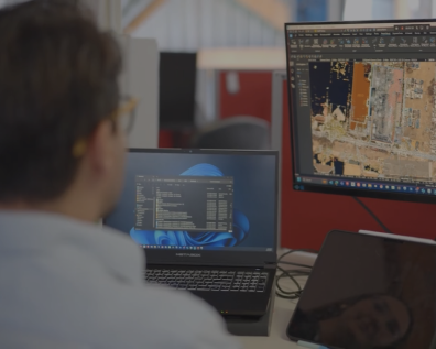

Realserve, een Australisch landmeetkundig bedrijf dat gespecialiseerd is in as-built-documentatie, integreert total station-gegevens, point clouds en dronebeelden in Octave BricsCAD voor nauwkeurig tekenwerk en coördinatengeometrie.
Realserve · Landmeetkunde en as-built-documentatie, Australië
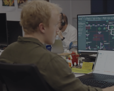

ADG Engineers, een Australisch ingenieursbureau voor constructie- en civiele techniek dat werkt aan spoor-, metro- en luchthavenprojecten, implementeerde Octave BricsCAD Pro met netwerklicenties voor 2D-tekenwerk, 3D-modellering en landmeetkunde. Daarbij werden de licentiekosten met 80% verlaagd, zonder verlies van functionaliteit.
ADG Engineers · Constructie- en civiele techniek, Australië
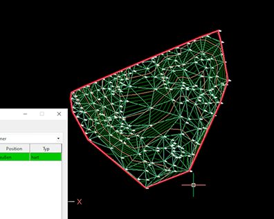

Vermessung AVT, een Oostenrijks landmeetkundig bedrijf, maakt landmeetkundige plannen in Octave BricsCAD Pro met de GeoSI-extensie en levert kadastrale opmetingen, technische geodesie en fotogrammetrie in heel Centraal-Europa. Het bedrijf werkt daarbij met meer dan 80 permanente licenties.
Vermessung AVT · Landmeetkunde en geodesie, Oostenrijk
30 dagen proefperiode
Begin vandaag met ontwerpen
in BricsCAD!
