Civil engineering CAD software
DWG-native survey and site design.
* Free 30-day trial, no credit card required.
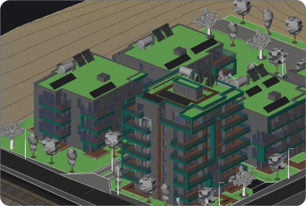
Civil engineering
What is civil engineering design software?
Civil engineering design software helps teams turn survey and field data into accurate drawings and models for land development, site design and infrastructure. It spans disciplines such as land surveying, grading and earthworks, site plans and terrain modelling.
The Octave BricsCAD Civil & Survey toolset brings these workflows into a native DWG environment, so teams produce deliverables faster.
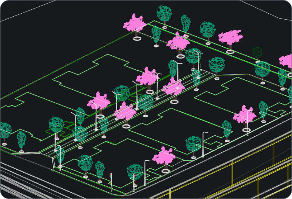
Civil & survey workflows
Octave BricsCAD for civil engineering
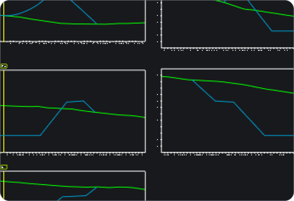
For civil and survey teams, Octave BricsCAD combines survey drafting, modelling and terrain analysis in a familiar DWG environment.
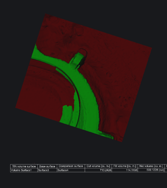
Automate common survey tasks such as point labelling, profiles and cross-sections; import point clouds and build TIN surfaces to calculate earthwork volumes; and work directly with external survey data sources, so your field data becomes a finished deliverable faster.
Why civil & survey teams choose us
Why civil and survey teams choose Octave BricsCAD
Octave BricsCAD is the cost-effective, DWG-compatible choice for firms that need strong 2D civil drafting, survey and site design without paying for a full infrastructure suite. Flexible licensing replaces token-based models that charge for more than teams use.

More than basic drafting

One environment, field to deliverable

Flexible, right-sized licensing
Prozkoumejte BricsCAD
Software CAD podle vašich potřeb
BricsCAD umožňuje odborníkům vytvářet přesnější reprezentace návrhu. CAD nahradil manuální kreslení, což umožnilo lepší vývoj návrhu, jeho úpravy a optimalizaci. BricsCAD umožňuje inženýrům vytvářet přesnější návrhy a virtuálně s nimi manipulovat. Software CAD vypočítá, jak spolu souvisí více materiálů.
BricsCAD byl navržen s dokonalou sadou nástrojů, které vyhovují vašim potřebám designu. Naše robustní sada produktů umožňuje snadno vytvořit zefektivněný pracovní postup od nejranějších fází 2D návrhu až po finální 3D modely používané pro výrobu nebo stavbu.
 €330/rok
Vysoce výkonné, kompatibilní 2D kreslení a detaily
 €710/rok
Profesionální 2D a 3D CAD - výkonný a flexibilní.
 €998/rok
Průmyslový 2D a 3D strojírenský CAD pro dokumentaci výrobních procesů.
 €1,060/rok
2D a 3D CAD pro modelování a dokumentaci budov.
 €1,176/rok
Integrovaný 2D a 3D CAD pro strojírenství, stavebnictví a geodety.
Civil & survey toolset
Inside the Civil & Survey toolset
Purpose-built tools for survey and terrain workflows, all in the native DWG environment your team already knows.
Survey and terrain
Create points, linework, TIN surfaces and contours directly in CAD. Point, surface and terrain creation from measured data, with survey-specific drafting automation including dynamic labelling.
Field data, unified
Grading and corridors
Reality capture
DWG-native and interoperable
One platform
Five product levels at a glance
Octave BricsCAD scales with you. Every level shares the same DWG-native core, so moving up never means changing formats or retraining your team.
Product level | Focus | Best for |
|---|---|---|
Lite | 2D drafting | Fast, familiar 2D documentation in native DWG |
Pro | 2D and 3D CAD | General design work, with LISP and third-party apps |
Mechanical | Manufacturing | Assemblies, sheet metal conversion and BOMs |
BIM | Building design | Architectural and structural BIM in DWG |
Ultimate | Everything | All modules combined in one license |
Potřebujete další pomoc?
You can’t find what you’re looking for?
From the official BricsCAD logo set to the latest press releases, we are here to help.

Podívejte se do centra nápovědy BricsCADu
Máte nějaké konkrétní otázky? Vyhledávání v nápovědě, ukázkách a popisech příkazů.

Kontaktovat servisní podporu
Nenašli jste, co jste hledali? Kontaktujte technickou podporu společnosti Bricsys

Spojte se s našimi prodejci!
Máte dotazy týkající se BricsCADu nebo nevíte, jaká verze produktu BricsCADu je pro vaše podnikání vhodná? Jsme tady, abychom vám pomohli. Kontaktujte nás a my se vám ozveme co nejrychleji.
Zjistěte si fakta
Nejčastější dotazy
What is the best CAD software for civil engineering?
The best civil CAD software brings survey data, terrain and drafting into one environment. Octave BricsCAD, with its Civil & Survey toolset, works natively in DWG and handles points, TIN surfaces, contours, grading and reality-capture data. It is a strong fit for teams that need more than basic drafting without a full infrastructure suite.
Is Octave BricsCAD an alternative to AutoCAD Civil 3D?
Can Octave BricsCAD work with survey and GIS data?
Does Octave BricsCAD support corridor and road design?
Can Octave BricsCAD create TIN surfaces and calculate earthwork volumes?
ZÁKAZNÍCI
Teams that chose Octave BricsCAD for DWG
 Zdroj: www.g2.com/bricscad
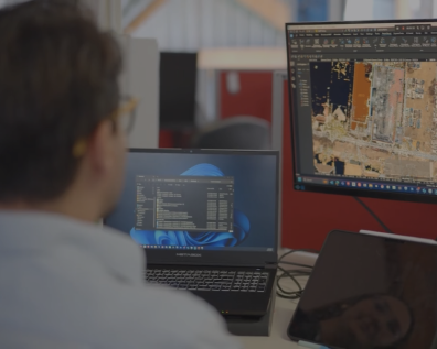

Realserve, an Australian surveying firm specialising in as-built documentation, integrates total station data, point clouds and drone imagery in Octave BricsCAD for precision drafting and coordinate geometry.
Realserve · Surveying & as-built documentation, Australia


ADG Engineers, an Australian structural and civil engineering firm working on rail, metro and airport projects, deployed Octave BricsCAD Pro on network licences for 2D drafting, 3D modelling and land surveying, cutting licence fees by 80% with no loss of functionality.
ADG Engineers · Structural & civil engineering, Australia
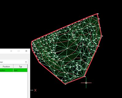

Vermessung AVT, an Austrian surveying firm, generates survey plans in Octave BricsCAD Pro with its GeoSI extension, delivering cadastral surveys, engineering geodesy and photogrammetry across central Europe on 80-plus perpetual licences.
Vermessung AVT · Surveying & geodesy, Austria
30denní zkušební verze
Začněte navrhovat v aplikaci
BricsCAD ještě dnes!
